
Leonardo da Vinci’s Plan of Imola, 1502
Em parceria com o prof. Sébastien Caquard, publicamos um tópico sobre Arte e Cartografia no projeto Geographic Information Science GIS&T Body of Knowledge, Agradecemos ao prof. Robert Roth pelo convite.
Esta publicação é um dos frutos do meu estágio de pesquisa no Geomedia Lab da Concordia University em Montréal, Canadá. Agradeço ao Global Affairs Canadá que financiou meu estágio através da bolsa ELAP. Agradeço também ao prof. Sébastien por ter me recebido em sua equipe entre outubro de 2016 e abril de 2017.
Cartography and Art
Abstract:
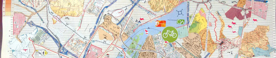
The intersections between art and cartography go far beyond the notions of design and illustration, since mapmaking invariably has multiple cultural, social, and political dimensions. Considering this broader perspective, this entry provides a review of these different contemporary intersections, by exploring three main types of relationships: 1) cartography influenced by artistic practices; 2) map art or maps embedded in artistic practices; and 3) cartography at the interface between art and places. These will be discussed in detail following a brief overview of the main historical markers from which these types of relationships between art and cartography have emerged.
Author and Citation Info:
Ribeiro, D. M, and Caquard, S. (2018). Cartography and Art. The Geographic Information Science & Technology Body of Knowledge (1st Quarter 2018 Edition), John P. Wilson (ed). DOI:10.22224/gistbok/2018.1.4.